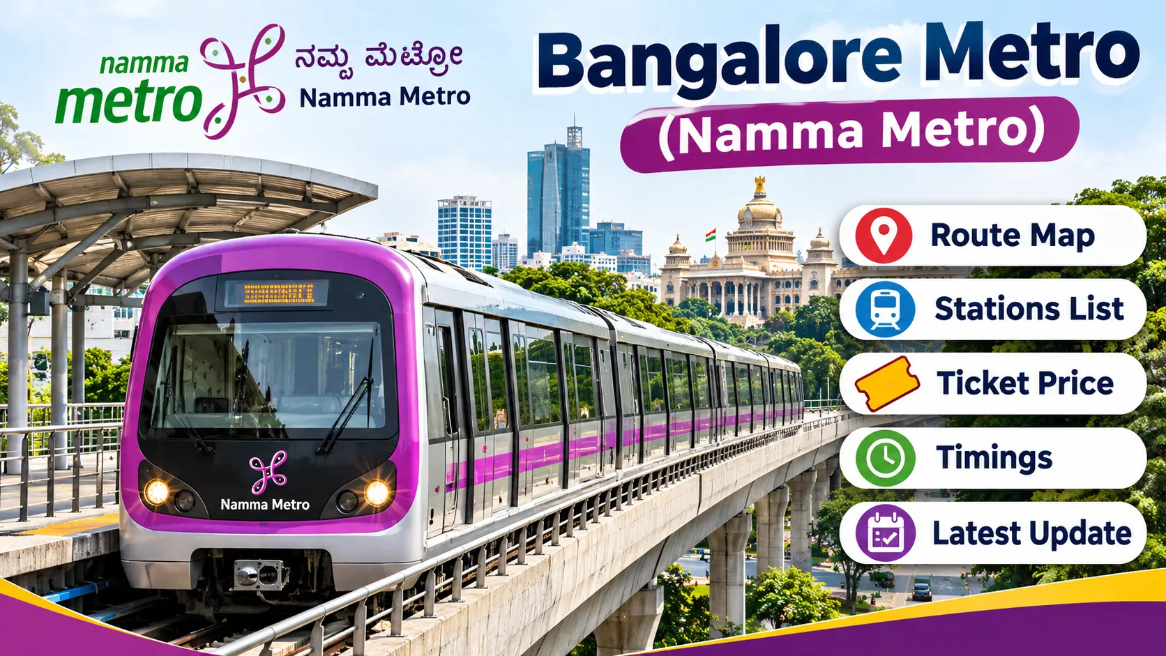
Bangalore Metro Network Crosses 100 KM: Complete New Route and Expansion Details 2026
Bengaluru has achieved an important milestone in urban transportation. On 14 November 2026, the operational Namma Metro network crossed the 100 km mark following the opening of the first elevated section of the Pink Line. The operational network has expanded from approximately 96.1 km to 103.6 km.
The newly opened 7.5 km Pink Line section connects Kalena Agrahara with SG Palya through six stations. It also provides an interchange with the Yellow Line at Jayadeva Hospital. The development has improved metro connectivity along Bannerghatta Road and added another important corridor to the existing Purple, Green and Yellow Lines.
Bangalore Metro is also expanding through major upcoming projects, including the remaining Pink Line underground corridor and the Blue Line connecting Central Silk Board with Kempegowda International Airport. These projects are expected to increase connectivity across residential areas, IT hubs, commercial centres and the airport.
Bangalore Metro Network 2026: Quick Overview
Metro Name: Namma Metro
Operating Authority: Bangalore Metro Rail Corporation Limited (BMRCL)
Operational Network Before Expansion: 96.1 km
New Pink Line Section: 7.5 km
Current Operational Network: 103.6 km
New Line: Pink Line
New Section Route: Kalena Agrahara to SG Palya
New Stations: 6
Inauguration Date: 13 November 2026
Passenger Services: 14 November 2026
New Interchange: Jayadeva Hospital
Upcoming Major Project: Blue Line
Full Pink Line Length: 21.26 km
Last Updated: 14 November 2026
1. Bangalore Metro Network Crosses 100 KM: What Changed?
Before the opening of the Pink Line elevated section, Bengaluru had approximately 96.1 km of operational metro connectivity. The opening of the additional 7.5 km section increased the total operational network to approximately 103.6 km.
This is an important development for commuters because the new section connects several locations along Bannerghatta Road with the existing metro network. Passengers can now access the Pink Line and change to the Yellow Line at Jayadeva Hospital.
| Network Details | Length |
|---|---|
| Operational Network Before Pink Line Opening | 96.1 km |
| New Pink Line Elevated Section | 7.5 km |
| Total Operational Network | 103.6 km |
| Complete Pink Line Project | 21.26 km |
According to reports published after the inauguration, Bengaluru has become the second-largest metro network in India by operational route length, after Delhi.
2. Which Metro Lines Are Operational in Bangalore?
Namma Metro currently operates Purple, Green, Yellow and Pink Line sections. These corridors connect different parts of Bengaluru, including Whitefield, Challaghatta, Madavara, Silk Institute, Bommasandra and Kalena Agrahara.
| Metro Line | Route | Status |
|---|---|---|
| Purple Line | Whitefield to Challaghatta | Operational |
| Green Line | Madavara to Silk Institute | Operational |
| Yellow Line | RV Road to Bommasandra | Operational |
| Pink Line | Kalena Agrahara to SG Palya | Partially Operational |
| Blue Line | Central Silk Board to Airport | Under Construction |
3. Bangalore Metro Pink Line: The New 7.5 KM Route
The Pink Line is the latest major addition to the Namma Metro network. The first elevated section was inaugurated on 13 November 2026, and commercial passenger services started on 14 November 2026.
The operational section connects Kalena Agrahara with SG Palya. It passes through important residential, educational and commercial areas along Bannerghatta Road.
Pink Line Station List
| No. | Station Name | Status |
|---|---|---|
| 1 | Kalena Agrahara | Operational |
| 2 | Hulimavu | Operational |
| 3 | Bilekahalli-IIMB | Operational |
| 4 | NS Palya-JP Nagar 4th Phase | Operational |
| 5 | Jayadeva Hospital | Operational |
| 6 | SG Palya | Operational |
The complete Pink Line is planned to extend from Kalena Agrahara to Nagawara. It will have a total length of approximately 21.26 km, including an elevated section and an underground section.
| Pink Line Component | Length | Status |
|---|---|---|
| Elevated Section | 7.5 km | Operational |
| Underground Section | 13.76 km | Under Construction |
| Complete Pink Line | 21.26 km | Partially Operational |
4. Pink Line Underground Route: SG Palya to Nagawara
The remaining underground portion of the Pink Line will extend the metro corridor towards Nagawara in North Bengaluru. It includes 12 underground stations and is an important part of the complete Phase 2 network.
The planned stations include Dairy Circle, Lakkasandra, Langford Town, National Military School, MG Road, Shivaji Nagar, Cantonment, Pottery Town, Tannery Road, Venkateshpura, Kadugundanahalli and Nagawara.
| No. | Upcoming Underground Station |
|---|---|
| 1 | Dairy Circle |
| 2 | Lakkasandra |
| 3 | Langford Town |
| 4 | National Military School |
| 5 | MG Road |
| 6 | Shivaji Nagar |
| 7 | Cantonment |
| 8 | Pottery Town |
| 9 | Tannery Road |
| 10 | Venkateshpura |
| 11 | Kadugundanahalli |
| 12 | Nagawara |
The remaining underground section is expected to become operational by mid-2027 according to the JICA update dated 13 November 2026. These stations are planned locations and are not currently open for passenger services.
5. Bangalore Metro Blue Line: New Airport Route
The Blue Line is one of the most important upcoming metro projects in Bengaluru. It is designed to connect Central Silk Board with Kempegowda International Airport through the Outer Ring Road and KR Puram corridor.
The project is divided into Phase 2A and Phase 2B. It is expected to improve connectivity for people working in IT parks and travelling towards the airport.
| Project | Route | Status |
|---|---|---|
| Phase 2A | Central Silk Board to KR Puram | Under Construction |
| Phase 2B | KR Puram towards Kempegowda International Airport | Under Construction |
| Full Blue Line | Central Silk Board to Airport | Upcoming |
Why Is the Blue Line Important?
- Connects the Outer Ring Road IT corridor with the metro network.
- Provides a planned metro connection towards Kempegowda International Airport.
- Improves access to KR Puram and nearby commercial areas.
- Provides another public transport option for airport passengers.
- Supports future expansion of Bengaluru public transportation.
According to the JICA project update, the full Blue Line is expected to become operational by mid-2028. Actual commissioning will depend on construction, testing and regulatory approvals.
6. Bangalore Metro Interchange Stations
Interchange stations allow passengers to change from one metro line to another without depending entirely on road transportation. Bengaluru has important interchange points connecting its operational metro corridors.
| Interchange Station | Connected Lines |
|---|---|
| Nadaprabhu Kempegowda Station (Majestic) | Purple Line and Green Line |
| RV Road | Green Line and Yellow Line |
| Jayadeva Hospital | Pink Line and Yellow Line |
Jayadeva Hospital is a significant new interchange because it connects the Pink Line with the Yellow Line. The station is integrated with a double-decker road structure and provides an important connection for passengers travelling along Bannerghatta Road and towards Electronic City.
7. Bangalore Metro Network Expansion Target 2027 and Beyond
Bengaluru is planning further metro expansion beyond the current 103.6 km operational network. The remaining Pink Line and Blue Line sections are among the major projects expected to add connectivity in the coming years.
The Karnataka government has also discussed an expansion target of more than 170 km of operational metro connectivity over the following 18 months. This is a government target and should not be confused with the currently operational network.
Longer-term proposals include additional metro corridors such as the proposed Orange Line and Red Line. These projects have separate approval, tendering and construction requirements and should not be counted as operational routes.
| Expansion Project | Proposed Connectivity | Stage |
|---|---|---|
| Pink Line Underground | SG Palya to Nagawara | Construction and testing |
| Blue Line Phase 2A | Central Silk Board to KR Puram | Under Construction |
| Blue Line Phase 2B | KR Puram to Airport | Under Construction |
| Orange Line Proposal | JP Nagar Phase 4 towards Hebbal | Proposed |
| Red Line Proposal | Sarjapur to Hebbal | Awaiting approval |
The final length and opening dates of future corridors may change as projects receive approvals and progress through implementation.
8. How Will the New Metro Routes Benefit Bangalore?
Expansion of Namma Metro is expected to improve connectivity across several important parts of Bengaluru.
Better Connectivity for IT Employees
The Blue Line is planned to connect important IT and commercial locations along the Outer Ring Road with the wider metro network. This can provide another commuting option for employees.
Improved Airport Connectivity
The planned airport corridor will connect the city with Kempegowda International Airport. Once operational, it will provide a rail-based public transport alternative for airport journeys.
Better Connectivity in South Bengaluru
The Pink Line elevated section improves metro access along Bannerghatta Road and provides a connection to the Yellow Line at Jayadeva Hospital.
Reduced Dependence on Road Transport
A larger metro network can provide more public transport choices and may reduce dependence on private vehicles for journeys where metro connectivity is available.
Better Interchange Facilities
Interchange stations help passengers move between metro corridors and plan journeys across multiple parts of Bengaluru.
9. Bangalore Metro Network: Current and Upcoming Routes
| Metro Line | Route | Current Status |
|---|---|---|
| Purple Line | Whitefield to Challaghatta | Operational |
| Green Line | Madavara to Silk Institute | Operational |
| Yellow Line | RV Road to Bommasandra | Operational |
| Pink Line Elevated | Kalena Agrahara to SG Palya | Operational |
| Pink Line Underground | SG Palya towards Nagawara | Under Construction |
| Blue Line | Central Silk Board to Airport | Under Construction |
| Orange Line | JP Nagar Phase 4 to Hebbal | Proposed |
| Red Line | Sarjapur to Hebbal | Proposed / Approval Pending |
10. Official Sources and References
The following official government and project authority sources can be used to verify Namma Metro routes, new stations, project progress and passenger information.
- Bangalore Metro Rail Corporation Limited (BMRCL) - Official metro operator website.
- BMRCL Metro Network - Official route and station information.
- BMRCL Metro Timings - Passenger service information.
- Japan International Cooperation Agency (JICA) - Official Pink Line inauguration, project length, stations and future project timelines, 13 November 2026.
- Press Information Bureau - Government announcements about metro infrastructure and project inaugurations.
Frequently Asked Questions (FAQs)
1. Has Bangalore Metro crossed 100 km in 2026?
Yes. After the 7.5 km Pink Line elevated section opened on 14 November 2026, the operational network increased to approximately 103.6 km.
2. What is the current operational length of Bangalore Metro?
The reported operational network length is approximately 103.6 km as of 14 November 2026.
3. Which new metro line helped Bangalore cross 100 km?
The Pink Line elevated section between Kalena Agrahara and SG Palya helped the city cross the 100 km milestone.
4. How many stations are there on the new Pink Line section?
The 7.5 km elevated section has six operational stations.
5. What are the four operational metro lines in Bangalore?
The Purple, Green, Yellow and partially operational Pink Lines provide metro services.
6. What is the complete length of the Pink Line?
The complete Pink Line is approximately 21.26 km long, consisting of 7.5 km elevated and 13.76 km underground sections.
7. Which station connects Pink Line with Yellow Line?
Jayadeva Hospital is the interchange station between the Pink Line and Yellow Line.
8. What is the Bangalore Metro Blue Line route?
The Blue Line is planned to connect Central Silk Board with Kempegowda International Airport through the Outer Ring Road and KR Puram corridor.
9. Is the Blue Line operational in November 2026?
No. The Blue Line remains under construction and is not open for passenger services.
10. When will the complete Pink Line open?
The remaining underground section is expected to become operational by mid-2027 according to the JICA project update dated 13 November 2026.
11. What is the Bangalore Metro expansion target?
The Karnataka government has discussed a target of expanding the operational network beyond 170 km over the following 18 months. This is a target, not the current operational length.
12. Which are the major interchange stations in Bangalore Metro?
Majestic connects Purple and Green Lines, RV Road connects Green and Yellow Lines, and Jayadeva Hospital connects Pink and Yellow Lines.
13. Which metro line connects Bangalore Airport?
The upcoming Blue Line is planned to connect Central Silk Board with Kempegowda International Airport.
14. Where can passengers check official Bangalore Metro updates?
Passengers can visit the official BMRCL website at english.bmrc.co.in for routes, timings, stations and service announcements.
Conclusion
Bengaluru has reached an important milestone in public transportation with its operational Namma Metro network crossing 100 km in November 2026. The opening of the 7.5 km Pink Line elevated section has increased the network to approximately 103.6 km and added six new operational stations.
The remaining Pink Line underground corridor and the upcoming Blue Line are expected to provide further connectivity towards North Bengaluru, the Outer Ring Road and Kempegowda International Airport. Future expansion projects will also play a role in increasing the overall metro network. Passengers should follow official BMRCL announcements for confirmed routes, opening dates and service changes.