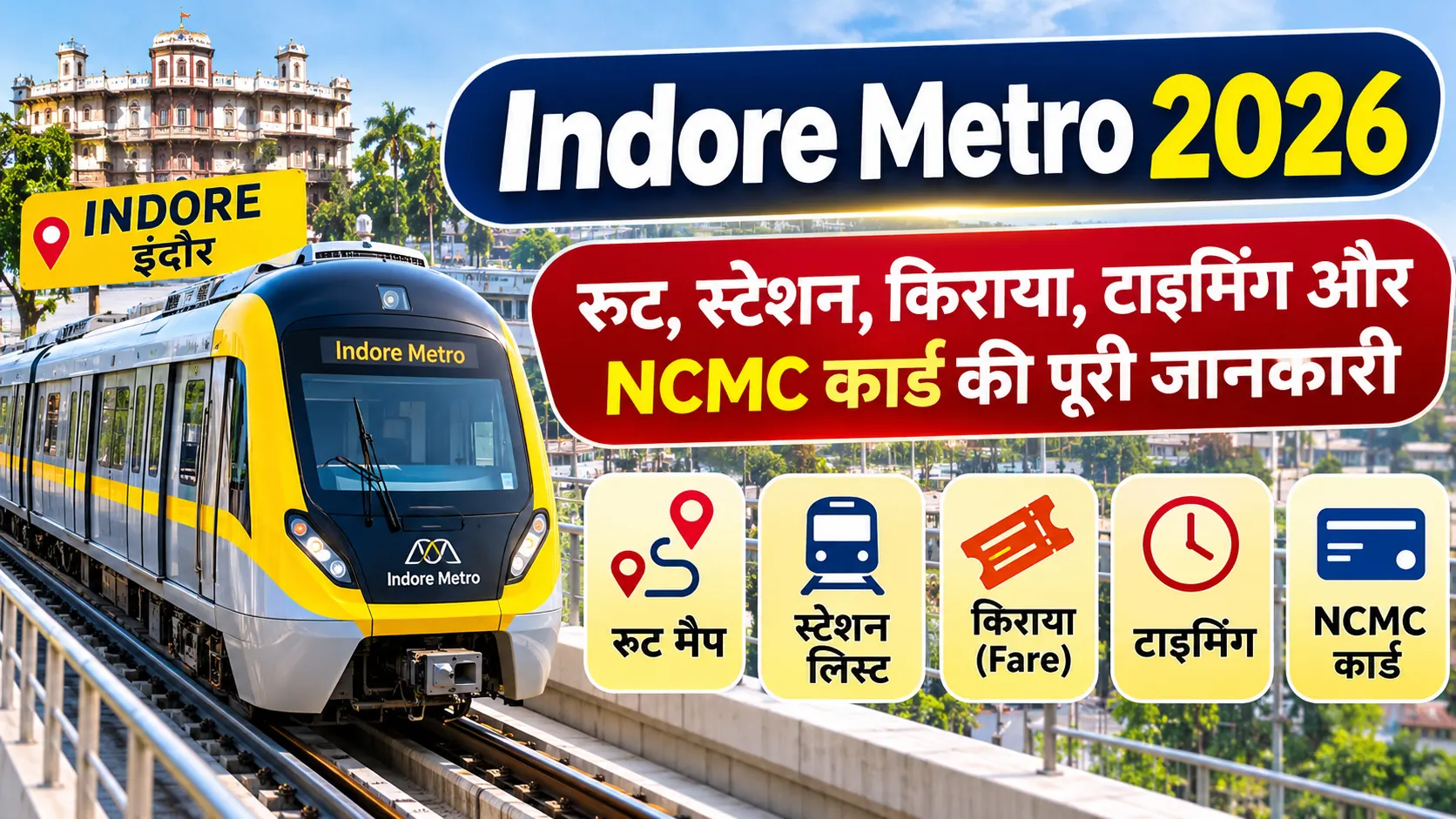
Indore Metro Phase 2 Update 2026: New Routes, Proposed Stations and Ring Line
Indore Metro is expanding its urban transport network through operational corridor extensions and a proposed ring-line project. The major developments include the inauguration of Priority Corridor-2 in September 2026 and the longer-term plan for a 31.55-kilometre ring line connecting important areas such as Bengali Square, Vijay Nagar, Bhawarsala, Airport and Palasia.
There is an important distinction between Priority Corridor-2, which is already operational, and the proposed Ring Line, which is a separate project component. This article explains the routes, proposed station areas, project figures and current status without treating proposed stations as operational services.
Indore Metro Phase 2: Quick Information
Metro Authority: Madhya Pradesh Metro Rail Corporation Limited
Operational Line: Yellow Line
Operational Stations: 16
Operational Network: Approximately 17 km
Priority Corridor-2 Inauguration: 5 September 2026
Proposed Ring Line Length: 31.55 km
Proposed Ring Line Stations: 30
Original Approved Project Cost: Rs 7,500.80 crore
Ring Line Route: Bengali Square – Vijay Nagar – Bhawarsala – Airport – Patasia – Palasia – Bengali Square
1. What Is the Indore Metro Phase 2 Project?
The term Phase 2 is used in discussions about the expansion of Indore Metro, but it is important to distinguish between an inaugurated corridor and the longer-term ring-line development.
Priority Corridor-2, also identified as Phase-I Reach-II in the government announcement, was inaugurated on 5 September 2026. It covers approximately 11 kilometres and includes 11 stations from Super Corridor-3 to Malviya Nagar Chauraha.
Separately, the Union Cabinet approved an Indore Metro Ring Line project of 31.55 kilometres with 30 proposed stations. This ring line is intended to connect important residential, commercial and transport areas across the city.
2. Indore Metro Proposed Ring Line Route 2026
The approved ring-line route connects Bengali Square, Vijay Nagar, Bhawarsala, Airport, Patasia and Palasia before returning towards Bengali Square.
| No. | Major Route Area |
|---|---|
| 1 | Bengali Square |
| 2 | Vijay Nagar |
| 3 | Bhawarsala |
| 4 | Airport |
| 5 | Patasia |
| 6 | Palasia |
| 7 | Return connection to Bengali Square |
The route above lists the major areas identified in the approved ring-line project. It is not a complete list of all 30 station names. The final station-wise construction and commissioning details should be checked through official project documents.
3. Indore Metro Ring Line Project Details
The Union Cabinet approved the Indore Metro Ring Line project to improve connectivity between important urban locations. The original approved project details are as follows:
| Project | Indore Metro Ring Line |
| Route Length | 31.55 km |
| Proposed Stations | 30 |
| Original Approved Cost | Rs 7,500.80 crore |
| Original Project Completion Estimate | Four years |
| Implementing Agency | MPMRCL |
These figures represent the original Union Cabinet approval details. They should not be treated as a confirmation of the latest revised project cost, current construction expenditure or a new completion deadline.
4. Proposed Yellow Line Alignment and New Station Areas
The Government of India Gazette notification dated 22 August 2024 identifies the notified Yellow Line alignment from Gandhi Nagar towards the Airport. It includes the following station areas and locations:
| No. | Notified Alignment Location |
|---|---|
| 1 | Gandhi Nagar |
| 2 | Super Corridor 6 |
| 3 | Super Corridor 5 |
| 4 | Super Corridor 4 |
| 5 | Super Corridor 3 |
| 6 | Super Corridor 2 |
| 7 | Super Corridor 1 |
| 8 | Bhawarsala Chauraha |
| 9 | MR 10 Road |
| 10 | ISBT |
| 11 | Chandragupta Chauraha |
| 12 | Hira Nagar |
| 13 | Bapat Chauraha |
| 14 | Meghdoot Garden |
| 15 | Vijay Nagar Chauraha |
| 16 | Malviya Nagar Chauraha |
| 17 | Shaheed Bagicha |
| 18 | Khajrana Chauraha |
| 19 | Bengali Chauraha |
| 20 | Patrakar Colony |
| 21 | Palasia Chauraha |
| 22 | Railway Station |
| 23 | Rajwada |
| 24 | Chhota Ganpati |
| 25 | Bada Ganpati |
| 26 | Ramchandra Nagar |
| 27 | BSF Kalani Nagar |
| 28 | Airport |
This table reproduces the locations listed in the notified Yellow Line alignment. It should not be interpreted as a list of 28 currently operational stations or as a substitute for the separate 30-station ring-line proposal.
5. Priority Corridor-2: What Is Already Operational?
Priority Corridor-2, identified as Phase-I Reach-II in the PIB announcement, was inaugurated on 5 September 2026. It covers approximately 11 kilometres and has 11 stations, extending from Super Corridor-3 to Malviya Nagar Chauraha.
After this inauguration, Indore Metro had 16 operational stations and an operational network of approximately 17 kilometres. This is the current passenger-service network and should be distinguished from future underground and ring-line extensions.
6. Will Indore Metro Connect Railway Station and Airport?
The notified Yellow Line alignment includes both Indore Railway Station and Airport. The planned underground section also covers locations such as Rajwada, Chhota Ganpati, Bada Ganpati, Ramchandra Nagar and BSF Kalani Nagar.
These locations form part of the planned project alignment. Direct passenger service to Railway Station and Airport should only be considered available after the relevant sections are constructed, tested, cleared and officially commissioned.
7. Are Ujjain, Dewas, Pithampur and Mhow Part of Indore Metro Phase 2?
Some media reports have discussed possible regional rapid transit or metro connectivity between Indore and nearby locations such as Ujjain, Dewas, Pithampur and Mhow. These discussions should not be confused with the 31.55-kilometre urban Ring Line approved by the Union Cabinet.
Regional corridors require separate feasibility studies, detailed project reports, approvals, funding decisions and implementation arrangements. Their proposed routes and station lists should not be presented as approved operational metro corridors unless supported by official government documents.
8. Benefits of the Indore Metro Expansion
- Better City Connectivity: The ring-line plan is intended to connect important residential and commercial areas.
- Airport Connectivity: The notified Yellow Line alignment includes the Airport.
- Railway Interchange: The project includes Railway Station connectivity.
- Business and Employment Areas: Connectivity to Vijay Nagar and other developing areas can improve access to commercial centres.
- Multimodal Integration: The approved project provides for integration with railway stations, BRTS stations, buses and feeder transport.
- Public Transport Use: Expanded metro connectivity can provide an alternative to private vehicles for daily travel.
9. What Is the Current Status of Indore Metro Phase 2?
The current operational status and the future ring-line proposal are separate matters. Priority Corridor-2 is operational following its September 2026 inauguration. The proposed 31.55-kilometre Ring Line remains a separate project component, and the original approval figures should not be treated as proof that all its stations are under construction.
For the latest tender packages, construction milestones, revised cost, station plans and commissioning announcements, passengers should check the official MPMRCL website and government releases.
10. Official Sources and References
- Prime Minister of India - Cabinet Approval for Indore Metro Ring Line - original approved route, length, station count and project cost.
- Government of India Gazette Notification dated 22 August 2024 - notified Yellow Line alignment.
- Press Information Bureau - Priority Corridor-2 Inauguration - operational network update dated 5 September 2026.
- MPMRCL Official Website - official construction, tender and passenger-service updates.
Frequently Asked Questions (FAQs)
1. What is the Indore Metro Phase 2 update for 2026?
Priority Corridor-2 was inaugurated on 5 September 2026. Separately, the approved 31.55-kilometre Ring Line remains an important part of the long-term metro expansion plan.
2. What is the proposed route of the Indore Metro Ring Line?
The approved route is Bengali Square – Vijay Nagar – Bhawarsala – Airport – Patasia – Palasia – Bengali Square.
3. How long is the proposed Indore Metro Ring Line?
The original Union Cabinet approval identifies a length of 31.55 kilometres.
4. How many stations are proposed on the Ring Line?
The original Cabinet approval identifies 30 proposed stations. A complete station-wise list should be taken from the latest official project documents.
5. What is the original approved cost of the Ring Line?
The original Union Cabinet approval gives an estimated cost of Rs 7,500.80 crore. This is not necessarily the latest revised project cost.
6. Is Indore Metro Priority Corridor-2 operational?
Yes. It was inaugurated on 5 September 2026 and forms part of the operational network.
7. Is the proposed Ring Line the same as Priority Corridor-2?
No. Priority Corridor-2 is an inaugurated operational corridor extension. The Ring Line is a separate 31.55-kilometre approved project component.
8. Will the new Indore Metro route connect the Railway Station?
The notified Yellow Line alignment includes the Railway Station, but direct passenger service there is subject to construction and official commissioning.
9. Will Indore Metro connect Ujjain, Dewas, Pithampur and Mhow?
Regional connectivity proposals have been discussed in media reports. They should be treated separately from the approved urban Ring Line until their individual official approvals and project details are confirmed.
10. Where can I check the latest Indore Metro Phase 2 news?
Check the MPMRCL website, Press Information Bureau releases and official Government of India project notifications.
Conclusion
Indore Metro expansion includes both an operational corridor extension and a longer-term ring-line plan. Priority Corridor-2 was inaugurated in September 2026, taking the operational network to 16 stations and approximately 17 kilometres. The separate Ring Line approved by the Union Cabinet is 31.55 kilometres long and has 30 proposed stations, connecting Bengali Square, Vijay Nagar, Bhawarsala, Airport, Patasia and Palasia. The notified Yellow Line alignment also includes Railway Station and Airport locations. Passengers should distinguish between operational services, approved project alignments and future regional connectivity proposals. The latest construction and commissioning information should always be verified through MPMRCL and official government announcements.