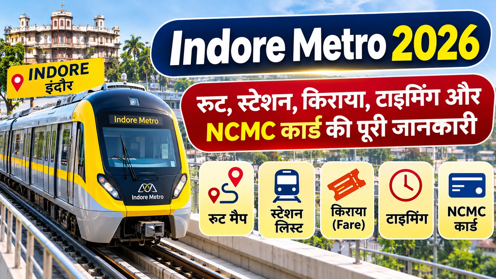
Indore Metro Route Map 2026: Complete Route Map and Station List
Indore Metro is an important public transportation project in Madhya Pradesh, developed to improve connectivity across major residential, commercial, educational and employment areas of Indore. The Yellow Line is planned as a circular ring corridor connecting Gandhi Nagar, Super Corridor, Vijay Nagar, Bengali Square, Palasia, Railway Station, Rajwada and Airport areas.
As of November 2026, Indore Metro has expanded its operational network to approximately 17 km with 16 operational stations. The network expansion includes the Priority Corridor from Gandhi Nagar to Malviya Nagar Chauraha. Other sections of the planned ring corridor are at different stages of construction and development.
Indore Metro 2026: Key Highlights
- Metro Project: Indore Metro Rail Project
- Metro Line: Yellow Line
- Route Type: Circular Ring Corridor
- Operational Route: Approximately 17 km
- Operational Stations: 16
- Operational Starting Station: Gandhi Nagar
- Operational End Station: Malviya Nagar Chauraha
- Implementing Agency: Madhya Pradesh Metro Rail Corporation Limited (MPMRCL)
- Project Location: Indore, Madhya Pradesh
- Future Connectivity: Airport, Railway Station, Rajwada and other major city areas
1. Indore Metro Route Map 2026
The Indore Metro Yellow Line is designed as a circular corridor. The planned alignment connects the northern part of the city with the Super Corridor, Vijay Nagar, central Indore, Railway Station, Rajwada and Airport areas.
The route begins at Gandhi Nagar and proceeds through Super Corridor stations towards Bhawarsala, MR 10 Road, ISBT, Vijay Nagar and Malviya Nagar. The remaining planned alignment connects Khajrana, Bengali Square, Palasia, Railway Station, Rajwada, Bada Ganpati and Airport areas.
Indore Metro Yellow Line – Route Sequence
Gandhi Nagar
↓
Super Corridor 6 → Super Corridor 5 → Super Corridor 4 → Super Corridor 3 → Super Corridor 2 → Super Corridor 1
↓
Bhawarsala Chauraha → MR 10 Road → ISBT → Chandragupta Chauraha → Hira Nagar → Bapat Chauraha → Meghdoot Garden → Vijay Nagar Chauraha → Malviya Nagar Chauraha
↓
Shaheed Bagicha → Khajrana Chauraha → Bengali Chauraha → Patrakar Colony → Palasia Chauraha
↓
Railway Station → Rajwada → Chhota Ganpati → Bada Ganpati → Ramchandra Nagar → BSF Kalani Nagar → Airport
Note: This is the planned Yellow Line alignment. Not all stations are operational.
2. Indore Metro Operational Station List 2026
Following the inauguration of Priority Corridor-2 on 5 September 2026, the operational Indore Metro network expanded to 16 stations across approximately 17 km.
The following station sequence represents the operational corridor from Gandhi Nagar to Malviya Nagar Chauraha:
| No. | Metro Station | Status |
|---|---|---|
| 1 | Gandhi Nagar | Operational |
| 2 | Super Corridor 6 | Operational |
| 3 | Super Corridor 5 | Operational |
| 4 | Super Corridor 4 | Operational |
| 5 | Super Corridor 3 | Operational |
| 6 | Super Corridor 2 | Operational |
| 7 | Super Corridor 1 | Operational |
| 8 | Bhawarsala Chauraha | Operational |
| 9 | MR 10 Road | Operational |
| 10 | ISBT | Operational |
| 11 | Chandragupta Chauraha | Operational |
| 12 | Hira Nagar | Operational |
| 13 | Bapat Chauraha | Operational |
| 14 | Meghdoot Garden | Operational |
| 15 | Vijay Nagar Chauraha | Operational |
| 16 | Malviya Nagar Chauraha | Operational |
Passengers should check the latest station directory and service status before planning their journey because station naming and operational arrangements may be updated by MPMRCL.
3. Indore Metro Upcoming Stations List
The remaining portion of the Yellow Line is planned to connect central Indore, the Railway Station, Rajwada, the Airport and other important areas. The following stations are included in the notified alignment beyond the currently operational section.
| No. | Upcoming Station | Status |
|---|---|---|
| 17 | Shaheed Bagicha | Upcoming |
| 18 | Khajrana Chauraha | Upcoming |
| 19 | Bengali Chauraha | Upcoming |
| 20 | Patrakar Colony | Upcoming |
| 21 | Palasia Chauraha | Upcoming |
| 22 | Railway Station | Upcoming |
| 23 | Rajwada | Upcoming |
| 24 | Chhota Ganpati | Upcoming |
| 25 | Bada Ganpati | Upcoming |
| 26 | Ramchandra Nagar | Upcoming |
| 27 | BSF Kalani Nagar | Upcoming |
| 28 | Airport | Upcoming |
Upcoming station status does not mean that every station is under active construction or has an announced opening date. The actual construction and commissioning status must be checked through official MPMRCL updates.
4. Indore Metro Yellow Line Route and Important Areas
The Yellow Line is planned to connect several important parts of Indore. This will improve accessibility for commuters travelling between residential, commercial, educational and transport hubs.
| Area | Metro Station / Connectivity |
|---|---|
| Gandhi Nagar | Gandhi Nagar Station |
| Super Corridor | Super Corridor Stations 1 to 6 |
| Bhawarsala | Bhawarsala Chauraha |
| MR 10 | MR 10 Road and ISBT |
| Vijay Nagar | Vijay Nagar Chauraha |
| Khajrana | Khajrana Chauraha |
| Bengali Square | Bengali Chauraha |
| Palasia | Palasia Chauraha |
| Central Indore | Railway Station and Rajwada |
| Airport Area | Airport Station |
5. Indore Metro Project Phase 1 Details
The Indore Metro Phase 1 project was planned to develop a ring corridor connecting major parts of the city. The approved project has an important role in improving public transport and connecting developing areas with established commercial and residential locations.
- Project Name: Indore Metro Rail Project
- Primary Line: Yellow Line
- Corridor Type: Ring Corridor
- Implementing Agency: MPMRCL
- Original approved ring corridor length: Approximately 31.55 km
- Planned connectivity: Gandhi Nagar, Super Corridor, Vijay Nagar, Palasia, Railway Station, Rajwada and Airport areas
The approved Indore Metro project details and the notified alignment should be referred to when checking the planned network. The operational route length and the full project alignment are different measurements.
6. How to Check Indore Metro Route Map Online
Passengers can use the Indore Metro official website and MPMRCL announcements to check route information, operational stations and passenger service updates.
- Visit the official Indore Metro website.
- Open the route map or station directory section.
- Select the Yellow Line.
- Check the starting and destination stations.
- Verify which stations are currently operational.
- Check official service timings and fare information before travelling.
PIB: Indore Metro Priority Corridor-2 Inauguration – 5 September 2026
PM India: Indore Metro Project Approval and Ring Line Details
7. Benefits of Indore Metro for Passengers
- Better public transportation across major city areas.
- Improved connectivity between residential and commercial locations.
- Convenient access to Super Corridor and Vijay Nagar.
- Potential reduction in road traffic congestion.
- Improved connectivity with railway and airport areas after completion of the respective sections.
- More sustainable urban transportation.
- Better commuting options for students, employees and visitors.
8. Important Things to Know Before Travelling
Before travelling by Indore Metro, passengers should verify the latest information from official sources.
- Check whether your destination station is operational.
- Confirm the latest metro operating hours.
- Check the available ticketing and fare options.
- Follow station security and passenger guidelines.
- Check official announcements for service changes.
9. Frequently Asked Questions (FAQs)
How many stations are operational in Indore Metro in 2026?
As of the 5 September 2026 expansion, Indore Metro has 16 operational stations across approximately 17 km.
Which line is currently operating in Indore Metro?
The Yellow Line is the main Indore Metro corridor. Its operational section connects Gandhi Nagar with Malviya Nagar Chauraha.
What is the starting station of Indore Metro?
Gandhi Nagar is the starting station of the currently operational corridor.
What is the last operational station of Indore Metro?
Malviya Nagar Chauraha is the last station of the operational Priority Corridor-2 section.
Does Indore Metro connect Vijay Nagar?
Yes. Vijay Nagar Chauraha is included in the operational Yellow Line corridor.
Will Indore Metro connect the Airport?
Airport is included in the notified Yellow Line alignment. However, it is not part of the currently operational 16-station section.
Will Indore Metro connect Rajwada?
Yes. Rajwada is included in the planned Yellow Line alignment, but the station is not currently operational.
What is the total length of the Indore Metro project?
The original approved ring corridor project has a planned length of approximately 31.55 km. The currently operational network covers approximately 17 km.
Where can I check the Indore Metro route map?
Passengers can check official route and project information on the Madhya Pradesh Metro Rail Corporation Limited website.
Conclusion
Indore Metro Route Map 2026 provides an overview of the Yellow Line and its planned circular connectivity across Indore. Following the September 2026 expansion, 16 stations covering approximately 17 km became operational between Gandhi Nagar and Malviya Nagar Chauraha. The future alignment is planned to connect important locations such as Khajrana, Bengali Square, Palasia, Railway Station, Rajwada and Airport. Passengers should always verify operational station status and travel information through official MPMRCL announcements before planning their journey.


