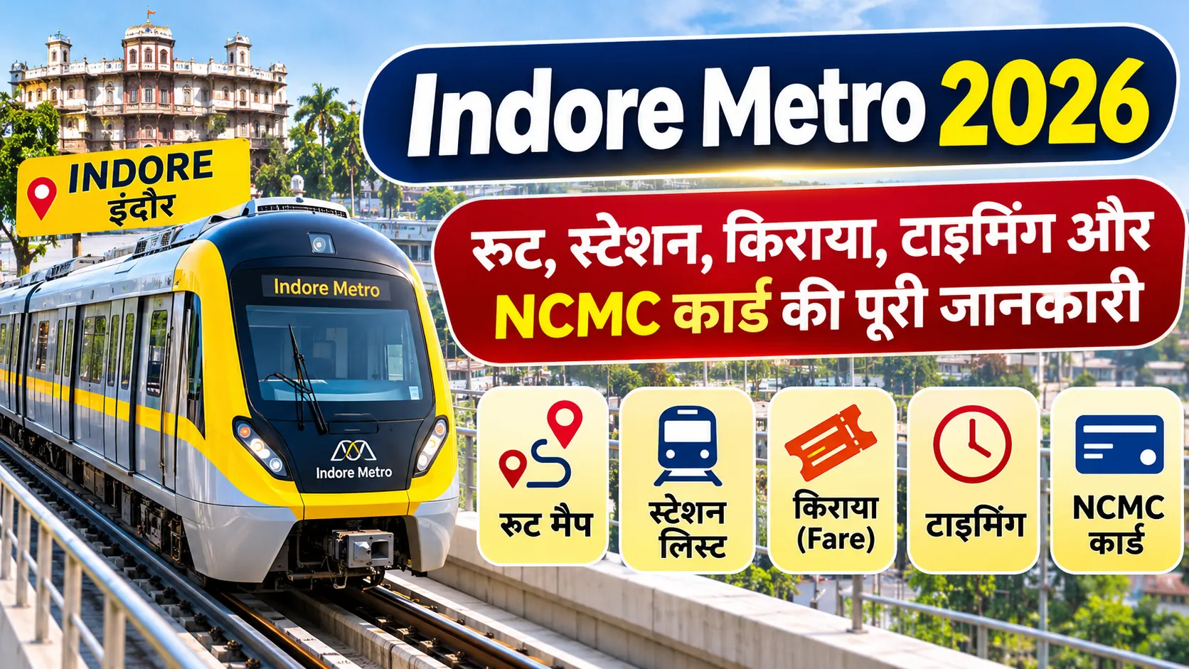
Indore Metro Map PDF Download 2026: Complete Route Map and Station Details
Looking for the Indore Metro Map PDF Download 2026? The Indore Metro Rail Project is developing a modern metro transportation network to connect important areas of Indore city. The Yellow Line is planned as a circular ring corridor connecting Gandhi Nagar, Super Corridor, MR 10, Vijay Nagar, Khajrana, Palasia, Railway Station, Rajwada and Airport areas.
Passengers, students and daily commuters can use the official government route alignment document to understand the planned metro corridor. The Government of India Gazette notification dated 22 August 2024 contains the notified Indore Metro Yellow Line alignment. This document is available in PDF format.
As of November 2026, Indore Metro has 16 operational stations covering approximately 17 kilometres. The remaining portions of the notified route are being developed in phases.
Indore Metro Map PDF Download 2026 – Overview
- Project: Indore Metro Rail Project
- Metro Line: Yellow Line
- Route Type: Circular Ring Corridor
- Notified Station Locations: 28
- Operational Stations: 16
- Operational Network: Approximately 17 KM
- Starting Area: Gandhi Nagar
- Operational Corridor Endpoint: Malviya Nagar Chauraha
- Future Route: Palasia to Airport through central Indore
- Official Agency: Madhya Pradesh Metro Rail Corporation Limited
- PDF Document: Government of India Gazette Notification
1. Indore Metro Map PDF Download 2026
The official Indore Metro Yellow Line alignment is available in the Government of India Gazette notification. The document specifies the approved route sequence and metro corridor locations.
Indore Metro Official Route PDF
Download the Government of India Gazette notification containing the Indore Metro Yellow Line alignment.
Document: Gazette Notification S.O. 3588(E)
Notification Date: 22 August 2024
Document Format: PDF
Download Official Route PDFNote: This is an official route alignment notification, not a graphical passenger route map.
2. How to Download Indore Metro Route Map PDF?
Follow these steps to download the official Indore Metro route alignment PDF:
- Open the official Government of India Gazette PDF link.
- Wait for the PDF document to load.
- Find the notification dated 22 August 2024.
- Locate the section mentioning Indore Metro Rail Project Yellow Line.
- Check the complete notified route sequence.
- Click the Download icon in your browser PDF viewer.
- Save the document on your mobile phone or computer.
The downloaded document can be used to check the notified metro alignment and the locations included in the Yellow Line corridor.
3. Indore Metro Yellow Line Complete Route Map
The Yellow Line is designed as a circular corridor. It starts from Gandhi Nagar and passes through Super Corridor, Bhawarsala, MR 10, ISBT, Chandragupta Square, Hira Nagar, Bapat Square, Meghdoot Garden and Vijay Nagar.
The future alignment continues towards Khajrana, Bengali Square, Palasia, Railway Station, Rajwada, Bada Ganpati and Airport.
Indore Metro Yellow Line – Route Sequence
Gandhi Nagar
↓
Super Corridor 6 → Super Corridor 5 → Super Corridor 4 → Super Corridor 3 → Super Corridor 2 → Super Corridor 1
↓
Bhawarsala Chauraha → MR 10 Road → ISBT → Chandragupta Chauraha → Hira Nagar → Bapat Chauraha → Meghdoot Garden → Vijay Nagar Chauraha → Malviya Nagar Chauraha
↓
Shaheed Bagicha → Khajrana Chauraha → Bengali Chauraha → Patrakar Colony → Palasia Chauraha
↓
Railway Station → Rajwada → Chhota Ganpati → Bada Ganpati → Ramchandra Nagar → BSF Kalani Nagar → Airport
Important: The above sequence represents the notified alignment. It does not mean that passenger services are currently available on the entire route.
4. Indore Metro Operational Stations List 2026
According to the Press Information Bureau announcement dated 5 September 2026, Indore Metro expanded its operational network to 16 stations covering approximately 17 kilometres after the inauguration of Priority Corridor-2.
| No. | Operational Station |
|---|---|
| 1 | Devi Ahilya Bai Holkar Terminal (Gandhi Nagar) |
| 2 | Maharani Lakshmi Bai |
| 3 | Rani Avanti Bai Lodhi |
| 4 | Rani Durgavati |
| 5 | Veerangana Jhalkari Bai |
| 6 | Super Corridor 2 |
| 7 | Super Corridor 1 |
| 8 | Bhawarsala Square |
| 9 | MR 10 Road |
| 10 | ISBT / MR 10 Flyover |
| 11 | Chandragupta Square |
| 12 | Hira Nagar |
| 13 | Bapat Square |
| 14 | Meghdoot Garden |
| 15 | Vijay Nagar Square |
| 16 | Malviya Nagar Chauraha / Radisson Square |
5. Upcoming Indore Metro Stations in 2026
The remaining notified Yellow Line alignment includes the following locations towards central Indore and Airport.
- Shaheed Bagicha
- Khajrana Chauraha
- Bengali Chauraha
- Patrakar Colony
- Palasia Chauraha
- Railway Station
- Rajwada
- Chhota Ganpati
- Bada Ganpati
- Ramchandra Nagar
- BSF Kalani Nagar
- Airport
These are locations in the notified alignment. Their actual construction and passenger service status should be verified through the latest official MPMRCL announcements.
6. Indore Metro Route Map – Area Wise Connectivity
| Area | Metro Station | Status |
|---|---|---|
| Gandhi Nagar | Gandhi Nagar Terminal | Operational |
| Super Corridor | Super Corridor Stations | Operational |
| Bhawarsala | Bhawarsala Square | Operational |
| MR 10 | MR 10 Road | Operational |
| ISBT | ISBT / MR 10 Flyover | Operational |
| Hira Nagar | Hira Nagar | Operational |
| Vijay Nagar | Vijay Nagar Square | Operational |
| Khajrana | Khajrana Chauraha | Upcoming |
| Bengali Square | Bengali Chauraha | Upcoming |
| Palasia | Palasia Chauraha | Upcoming |
| Central Indore | Railway Station / Rajwada | Upcoming |
| Airport | Airport | Upcoming |
7. Where to Check the Latest Indore Metro Map?
For updated project information, station details, passenger services and route announcements, passengers should visit the official Madhya Pradesh Metro Rail Corporation Limited website.
- MPMRCL Official Website – Official project information.
- Government Gazette PDF – Notified Yellow Line alignment.
- PIB Announcement – Operational corridor expansion dated 5 September 2026.
Always verify the latest route and station information before planning your journey.
8. Benefits of Downloading the Indore Metro Route Map
- Understand the complete Yellow Line alignment.
- Identify important metro station locations.
- Know the difference between operational and upcoming sections.
- Plan journeys around Super Corridor and Vijay Nagar.
- Understand planned connectivity to Railway Station and Airport.
- Keep an offline copy of the government route document.
9. Frequently Asked Questions (FAQs)
Where can I download the Indore Metro Map PDF?
You can download the Government of India Gazette notification containing the Indore Metro Yellow Line alignment from the official eGazette website.
Is the Indore Metro Route Map PDF free?
Yes. The Government of India Gazette notification is publicly accessible and can be downloaded free of charge.
How many stations are operational in Indore Metro in 2026?
According to the PIB announcement dated 5 September 2026, 16 stations covering approximately 17 kilometres are operational.
How many station locations are included in the official Yellow Line alignment?
The Gazette notification lists 28 station locations in the notified Yellow Line alignment.
Does the official PDF contain the graphical metro map?
The linked Gazette PDF contains the official notified route alignment in text form. It should not be confused with a graphical passenger route map.
Which areas are covered by Indore Metro?
The notified route includes Gandhi Nagar, Super Corridor, MR 10, Vijay Nagar, Khajrana, Bengali Square, Palasia, Railway Station, Rajwada and Airport areas.
Is the Airport Metro Station operational?
No. Airport is included in the notified future Yellow Line alignment and should not be treated as an operational station until official commissioning.
Where can I check the latest Indore Metro updates?
Visit the official MPMRCL website for the latest project and passenger service announcements.
Conclusion
Indore Metro Map PDF Download 2026 is a useful resource for understanding the Yellow Line route and its planned connectivity across the city. The Government of India Gazette notification provides the official route alignment from Gandhi Nagar to Airport. Currently, 16 stations covering approximately 17 kilometres are operational, while the remaining locations form part of the future corridor. Download the official Gazette document and check MPMRCL announcements for the latest station status and passenger information.


