Indore Metro New Route 2026: Complete Details of New Metro Corridors and Stations
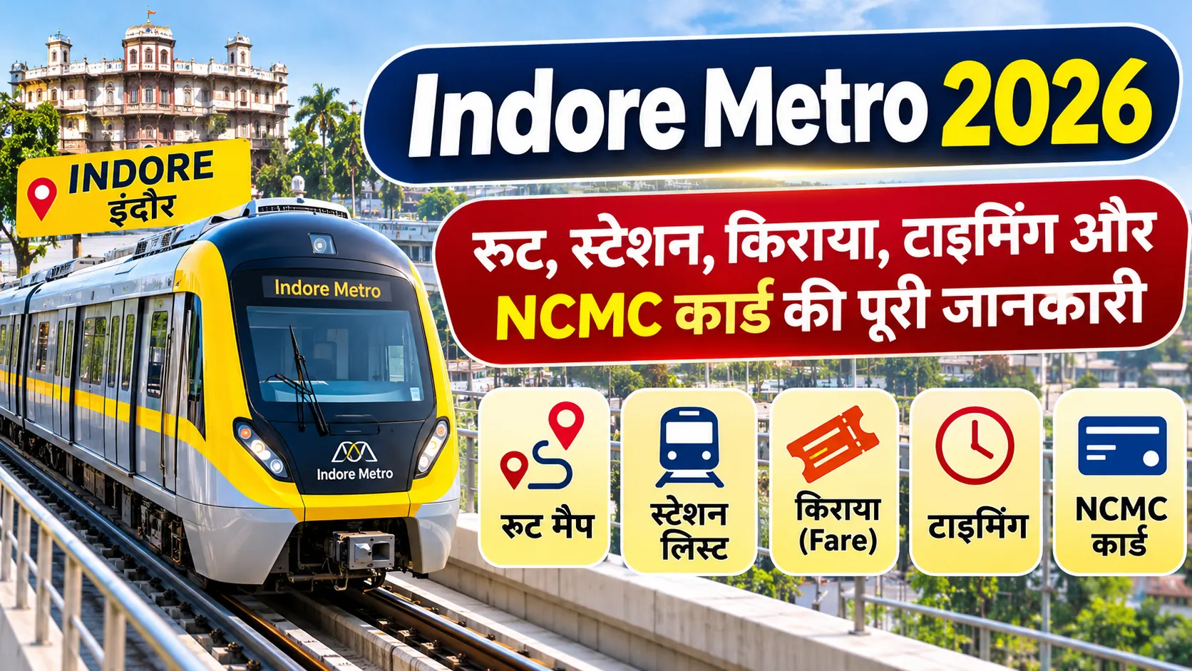
Indore Metro is expanding its urban transport network to connect important residential, commercial, railway and airport areas. The Yellow Line is the main metro corridor, with the operational network reaching approximately 17 kilometres and 16 stations following the inauguration of Priority Corridor-2 on 5 September 2026.
The wider Indore Metro project includes the notified Yellow Line alignment, underground connectivity towards the Railway Station and Airport, and the originally approved Ring Line. This guide explains the new metro routes, major stations, project status and areas expected to receive metro connectivity.
Indore Metro New Route 2026: Key Highlights
Metro Line: Yellow Line
Operational Network: Approximately 17 km
Operational Stations: 16
Operational Route: Gandhi Nagar to Radisson Square
Newly Inaugurated Section: Super Corridor-3 to Malviya Nagar Chauraha
Proposed Ring Line: 31.55 km under original Cabinet approval
Proposed Ring Line Stations: 30
Implementing Agency: Madhya Pradesh Metro Rail Corporation Limited
1. Indore Metro New Route 2026: Latest Update
Indore Metro has expanded beyond its initial priority section. On 5 September 2026, Priority Corridor-2, also known as Phase-I Reach-II, was inaugurated. The newly inaugurated section is approximately 11 kilometres long and contains 11 stations between Super Corridor-3 and Malviya Nagar Chauraha.
According to the Press Information Bureau, the operational network after this inauguration reached 16 stations and approximately 17 kilometres. This is an important development for passengers travelling towards Super Corridor, MR-10, ISBT, Vijay Nagar and nearby localities.
Apart from the operational route, the larger project includes an extension towards Khajrana, Bengali Square, Palasia, Railway Station, Rajwada and Airport. These sections should be understood according to their respective construction and commissioning status.
2. Indore Metro Operational Route and Station List
The operational Yellow Line connects Gandhi Nagar with Radisson Square through Super Corridor and important eastern areas of Indore.
| No. | Operational Station | Area / Connectivity |
|---|---|---|
| 1 | Devi Ahilya Bai Holkar Terminal | Gandhi Nagar |
| 2 | Maharani Lakshmi Bai | Yellow Line corridor |
| 3 | Rani Avanti Bai Lodhi | Yellow Line corridor |
| 4 | Rani Durgavati | Yellow Line corridor |
| 5 | Veerangana Jhalkari Bai | Yellow Line corridor |
| 6 | Super Corridor 2 | Super Corridor |
| 7 | Super Corridor 1 | Super Corridor |
| 8 | Bhawarsala Square | Bhawarsala |
| 9 | MR 10 Road | MR-10 |
| 10 | ISBT / MR 10 Flyover | ISBT area |
| 11 | Chandragupta Square | Chandragupta Chauraha |
| 12 | Hira Nagar | Hira Nagar |
| 13 | Bapat Square | Bapat Chauraha |
| 14 | Meghdoot Garden | Meghdoot Garden |
| 15 | Vijay Nagar Square | Vijay Nagar |
| 16 | Radisson Square | Malviya Nagar Chauraha |
The operational network information is based on the PIB announcement dated 5 September 2026. Passengers should refer to official MPMRCL station information for current service arrangements.
3. Indore Metro New Corridor: Super Corridor to Vijay Nagar
The extended priority corridor connects Super Corridor-3 with Malviya Nagar Chauraha. It passes through important locations including Super Corridor-2, Super Corridor-1, Bhawarsala, MR-10, ISBT, Chandragupta Square, Hira Nagar, Bapat Square, Meghdoot Garden and Vijay Nagar.
The corridor provides metro connectivity to important residential and commercial areas. It is also relevant for commuters travelling towards offices, educational institutions and commercial establishments around the Super Corridor and Vijay Nagar.
4. Indore Metro Proposed Route Towards Khajrana and Bengali Square
The Government of India Gazette notification dated 22 August 2024 identifies the Yellow Line alignment beyond Malviya Nagar Chauraha. The notified locations include Shaheed Bagicha, Khajrana Chauraha, Bengali Chauraha, Patrakar Colony and Palasia Chauraha.
This part of the alignment is intended to connect central and southern Indore with the existing metro corridor. It is important to distinguish a notified route alignment from a completed or operational passenger corridor.
5. Indore Metro Underground Route: Railway Station to Airport
The wider Yellow Line project includes an underground section through dense central and old-city areas. The notified alignment identifies locations towards the Railway Station, Rajwada, Chhota Ganpati, Bada Ganpati, Ramchandra Nagar, BSF Kalani Nagar and Airport.
The underground route is important for connecting major transport hubs and historic parts of Indore. It is planned to provide a metro connection towards the railway station and airport without relying entirely on elevated structures through dense city areas.
The listed locations should not be treated as operational metro stations until the relevant construction, testing, safety approval and official commissioning are completed.
6. Indore Metro Ring Line: Bengali Square to Vijay Nagar and Airport
The Union Cabinet originally approved a 31.55-kilometre Ring Line project for Indore. The approved route connects Bengali Square, Vijay Nagar, Bhawarsala, Airport, Palasia and Bengali Square.
| Project Detail | Original Approval |
|---|---|
| Project | Indore Metro Ring Line |
| Route Length | 31.55 km |
| Proposed Stations | 30 |
| Route | Bengali Square – Vijay Nagar – Bhawarsala – Airport – Palasia – Bengali Square |
| Original Estimated Cost | Rs 7,500.80 crore |
| Original Completion Estimate | Four years |
The above figures refer to the original Union Cabinet approval. They should not be treated as the latest revised project cost or the current completion deadline.
7. Indore Metro New Route Map and Gazette Alignment
The Government of India Gazette notification provides the following Yellow Line alignment:
Gandhi Nagar → Super Corridor 6 → Super Corridor 5 → Super Corridor 4 → Super Corridor 3 → Super Corridor 2 → Super Corridor 1 → Bhawarsala Chauraha → MR-10 Road → ISBT → Chandragupta Chauraha → Hira Nagar → Bapat Chauraha → Meghdoot Garden → Vijay Nagar Chauraha → Malviya Nagar Chauraha → Shaheed Bagicha → Khajrana Chauraha → Bengali Chauraha → Patrakar Colony → Palasia Chauraha → Railway Station → Rajwada → Chhota Ganpati → Bada Ganpati → Ramchandra Nagar → BSF Kalani Nagar → Airport.
This is the notified alignment, not a declaration that every location has an operational passenger station. The final station configuration and commissioning status should be verified from MPMRCL updates.
8. Will Indore Metro Connect Ujjain, Dewas, Pithampur and Mhow?
Regional transport connectivity involving Ujjain, Dewas, Pithampur and Mhow is a separate subject from the approved urban Ring Line. Discussions about regional connectivity should not be interpreted as confirmation of an operational metro corridor or approved stations in these cities.
A separate regional corridor would require its own feasibility study, detailed project report, government approvals, funding and implementation plan.
9. Benefits of the New Indore Metro Routes
- Improved public transport connectivity across residential and commercial areas.
- Better access to the Super Corridor and Vijay Nagar employment areas.
- Planned connectivity towards Railway Station and Airport.
- Improved access to central city and old-city locations.
- Integration opportunities with railway, BRTS and feeder transport.
- More public transport options for students, office workers and visitors.
- Potential reduction in dependence on private vehicles as the network expands.
10. Indore Metro New Route Project Status 2026
As of the 5 September 2026 PIB announcement, the operational Indore Metro network covers approximately 17 kilometres and 16 stations. Priority Corridor-2 between Super Corridor-3 and Malviya Nagar Chauraha is included in this operational network.
The remaining notified alignment towards Khajrana, Bengali Square, Palasia, Railway Station, Rajwada and Airport is part of the wider project plan. The underground and other extension works must be tracked separately from the operational passenger corridor.
For the latest tender details, construction milestones, revised costs and commissioning announcements, readers should consult official MPMRCL and government sources.
11. Official Sources for Indore Metro Route Updates
- MPMRCL Official Website - project and passenger information.
- PIB - Priority Corridor-2 Inauguration - operational network details dated 5 September 2026.
- PM India - Indore Metro Ring Line Approval - original Ring Line route and approval details.
- Government of India Gazette Notification - Yellow Line alignment dated 22 August 2024.
Frequently Asked Questions (FAQs)
1. What is the new Indore Metro route in 2026?
The operational extension runs from Super Corridor-3 to Malviya Nagar Chauraha and forms part of the approximately 17-kilometre operational network.
2. How many stations are operational in Indore Metro?
The PIB announcement dated 5 September 2026 confirms 16 operational stations.
3. Which areas are included in the proposed Indore Metro extension?
The notified alignment includes Khajrana, Bengali Chauraha, Patrakar Colony, Palasia, Railway Station, Rajwada, Bada Ganpati, Kalani Nagar and Airport.
4. Will Indore Metro reach the Airport?
Airport is included in the notified Yellow Line alignment. Passenger services should not be assumed to be operational until official commissioning.
5. Will Indore Metro connect the Railway Station?
Railway Station is included in the notified alignment and planned underground section. Its passenger service status must be checked through official announcements.
6. What is the length of the Indore Metro Ring Line?
The original Union Cabinet approval specifies a length of 31.55 kilometres.
7. How many stations are planned on the Ring Line?
The original Cabinet approval specifies 30 stations.
8. Is the Indore Metro route to Ujjain approved?
Regional connectivity discussions are separate from the approved urban Ring Line. A confirmed metro corridor should be supported by an official project approval.
9. Which areas are connected by the operational Yellow Line?
The operational network connects Gandhi Nagar, Super Corridor, Bhawarsala, MR-10, ISBT, Hira Nagar, Bapat Square, Meghdoot Garden, Vijay Nagar and Radisson Square.
10. Where can I find the latest Indore Metro route map?
Check the MPMRCL official website and government project notifications for the latest official route and passenger information.
Conclusion
The Indore Metro New Route 2026 project includes operational connectivity between Gandhi Nagar and Radisson Square, along with wider plans towards Khajrana, Bengali Square, Palasia, Railway Station, Rajwada and Airport. The operational network has reached approximately 17 kilometres and 16 stations. The original Ring Line approval covers 31.55 kilometres and 30 stations. The underground and other proposed extensions are separate from the operational corridor. Passengers should check official MPMRCL announcements before planning journeys to stations that are still under development.