Indore Metro Route Length 2026: Total Route Distance in Kilometres
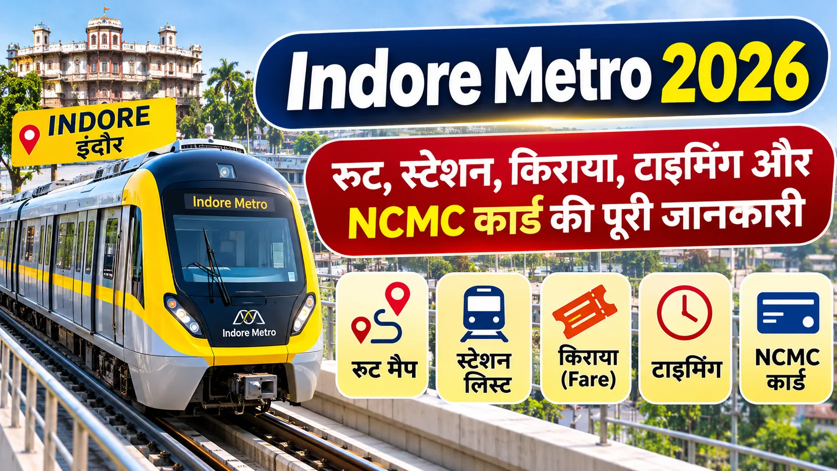
Indore Metro is an important public transport project in Madhya Pradesh. The Yellow Line Ring Corridor is planned to connect major areas of Indore, including Bengali Square, Vijay Nagar, Bhawarsala, Airport and Palasia. If you want to know the total Indore Metro route length in 2026, it is important to understand the difference between the approved project length and the network currently open for passengers.
Indore Metro Route Length 2026 – Quick Details
- Total approved Ring Line length: 31.55 KM
- Operational network: Approximately 17 KM
- Operational stations: 16
- Metro Line: Yellow Line – Ring Line
- Operational corridor: Gandhi Nagar to Malviya Nagar Chauraha
- Newly inaugurated section in September 2026: Approximately 11 KM
- Project Authority: Madhya Pradesh Metro Rail Corporation Limited (MPMRCL)
1. What Is the Total Length of Indore Metro?
The approved Indore Metro Ring Line project has a total length of 31.55 kilometres. This figure is mentioned in the Union Cabinet project approval published by the Prime Minister Office.
The approved Ring Line is planned to connect Bengali Square, Vijay Nagar, Bhawarsala, Airport, Palasia and other important areas of Indore. It is designed as a circular corridor to improve public transport connectivity across the city.
However, the entire approved route is not operational yet. The full project length and the length of the network currently available to passengers are two different figures.
2. How Much of Indore Metro Is Operational in 2026?
According to the Press Information Bureau announcement dated 5 September 2026, Indore Metro had approximately 17 kilometres of operational network covering 16 stations after the inauguration of Priority Corridor-2.
The newly inaugurated Phase-I Reach-II section was approximately 11 kilometres long and included 11 stations. It connected Super Corridor-3 with Malviya Nagar Chauraha.
Total Approved Route
31.55 KM
Complete approved Ring Line project
Operational Network
~17 KM
16 operational stations announced in September 2026
3. Indore Metro Route Length: Approved vs Operational
| Project Details | Length | Status |
|---|---|---|
| Complete Approved Ring Line | 31.55 KM | Approved project |
| Operational Metro Network | Approximately 17 KM | Operational |
| Priority Corridor-2 / Phase-I Reach-II | Approximately 11 KM | Inaugurated on 5 September 2026 |
The figures above refer to different parts and stages of the project. The 11-kilometre section is part of the expanded operational network and should not be added again to the approximately 17-kilometre total.
4. Indore Metro Yellow Line Route
The Yellow Line is the main Ring Line corridor of Indore Metro. The Government of India Gazette notification dated 22 August 2024 lists the following route alignment:
- Gandhi Nagar
- Super Corridor 6
- Super Corridor 5
- Super Corridor 4
- Super Corridor 3
- Super Corridor 2
- Super Corridor 1
- Bhawarsala Chauraha
- MR 10 Road
- ISBT
- Chandragupta Chauraha
- Hira Nagar
- Bapat Chauraha
- Meghdoot Garden
- Vijay Nagar Chauraha
- Malviya Nagar Chauraha
- Shaheed Bagicha
- Khajrana Chauraha
- Bengali Chauraha
- Patrakar Colony
- Palasia Chauraha
- Railway Station
- Rajwada
- Chhota Ganpati
- Bada Ganpati
- Ramchandra Nagar
- BSF Kalani Nagar
- Airport
This is the notified route-location sequence. It should not be interpreted as a list of 28 currently operational passenger stations.
5. Which Important Areas Will Be Connected by Indore Metro?
The planned Ring Line is intended to improve connectivity between several important parts of Indore:
- Gandhi Nagar and Super Corridor
- Bhawarsala and MR 10 Road
- ISBT and Hira Nagar
- Bapat Chauraha and Meghdoot Garden
- Vijay Nagar and Malviya Nagar
- Khajrana and Bengali Chauraha
- Patrakar Colony and Palasia
- Railway Station and Rajwada
- Bada Ganpati and Ramchandra Nagar
- BSF Kalani Nagar and Airport
These locations are part of the notified route alignment. Passenger services at each location depend on construction, commissioning and official opening announcements.
6. How Much Is the Distance Between the Operational Stations?
The distance between consecutive stations varies across the route. A detailed design-reference document contains chainage-based distances for the section from Gandhi Nagar to Radisson Square.
The listed station intervals range from approximately 0.612 kilometres to 1.785 kilometres. These are engineering design-reference figures and should not be treated as a fresh survey of the operational track in 2026.
For a detailed station-wise distance table, refer to the Indore Metro Distance Between Stations article.
7. Why Are 31.55 KM and 17 KM Both Used for Indore Metro?
Both figures are correct in their respective contexts:
- 31.55 kilometres is the length of the complete approved Ring Line project.
- Approximately 17 kilometres is the operational network reported by PIB on 5 September 2026.
As the metro project is being developed in phases, the complete approved route is longer than the portion currently open for passenger services. This is why different sources may show different route lengths.
8. Official Indore Metro Route Length Sources
- Prime Minister Office – Cabinet Approval – Confirms the approved 31.55 KM Ring Line and 30 stations.
- PIB Press Release – 5 September 2026 – Confirms approximately 17 KM operational network and 16 operational stations.
- Government Gazette Notification – 22 August 2024 – Lists the notified Yellow Line route alignment.
- MPMRCL Official Website – Official metro project and passenger information.
9. Frequently Asked Questions (FAQs)
What is the total route length of Indore Metro?
The complete approved Indore Metro Ring Line is 31.55 kilometres long.
How many kilometres of Indore Metro are operational in 2026?
According to the PIB announcement dated 5 September 2026, approximately 17 kilometres of the Indore Metro network were operational.
How many stations are operational in Indore Metro?
The September 2026 PIB announcement confirmed 16 operational stations.
What is the length of the Indore Metro Yellow Line?
The approved Ring Line project length is 31.55 kilometres.
Is the complete 31.55 KM Indore Metro route operational?
No. The operational network announced in September 2026 was approximately 17 kilometres. The complete approved Ring Line is a larger project.
What is the length of Priority Corridor-2?
The newly inaugurated Priority Corridor-2 / Phase-I Reach-II section was approximately 11 kilometres long.
Where does the Indore Metro Ring Line pass?
The approved Ring Line connects areas including Bengali Square, Vijay Nagar, Bhawarsala, Airport and Palasia. The notified Yellow Line alignment also lists Gandhi Nagar, Super Corridor and several central Indore locations.
Conclusion
The total approved route length of Indore Metro is 31.55 kilometres, while approximately 17 kilometres were operational with 16 stations according to the government announcement dated 5 September 2026. The difference exists because the project is being developed in phases. For the latest operational route, passenger stations and service information, always check MPMRCL announcements and official government updates.


